Early detection
- Networks of gauging stations with level and flow sensors
- Rain gauges measuring 5-minute intensity
- IP cameras for real-time visual verification
- Configurable thresholds by critical point and catchment


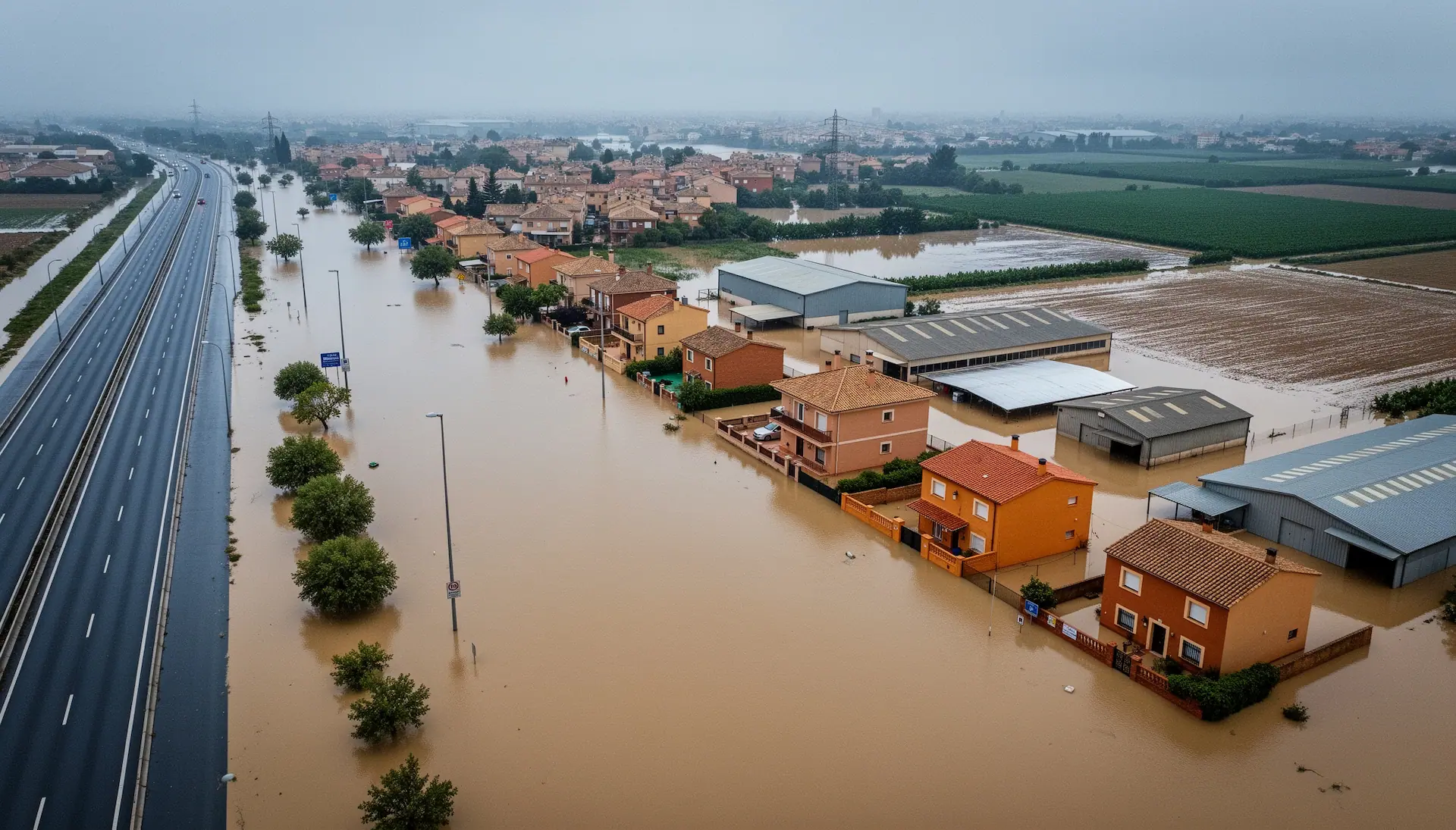
Detection and early warning systems (sensors, weather stations, cameras, sirens, barriers and other warning systems), decision-support software and emergency management.
The real risk isn't just the water: it's the speed of decision. We design and deploy end-to-end warning and automatic response systems for authorities, infrastructure operators and risk managers who need to protect whole territories from sudden floods.
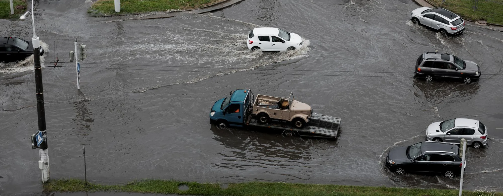
A complete cycle of detection, decision, action and logging that runs autonomously or under supervision, adapted to the criticality and configuration of each risk point.
Level/flow sensors (ultrasonic, radar, pressure), rain gauges, IP cameras and gauging stations at each critical point.
IP/Ethernet, mobile network, professional radio (PMR/DMR) and optional VSAT. Local buffering and retries to guarantee transmission.
iDam for rules, thresholds, dashboards and history. COMSIR for remote control of signals and warnings. Compatible with third-party SCADA.
Sirens, LED panels, barriers/traffic lights and local activators. Fords are closed before the crossing becomes impassable.
24/7 traceability: signed and time-stamped events, history, video and timeline for post-event reports and insurer audits.
Floods in streams, ravines and urban fords build up in minutes, often without enough advance weather warning. By the time water reaches a crossing it is too late to act manually: vehicles get trapped and people are exposed to currents whose force is underestimated.
An effective early warning system doesn't just detect the flood: it must decide, close, warn and record within a time that doesn't depend on human intervention. Automating the full cycle —from sensor to barrier— is what makes the difference between prevention and an accident.
Technical diagram of the integrated detection, warning and remote control system for managing flash flood and sudden inundation risk.
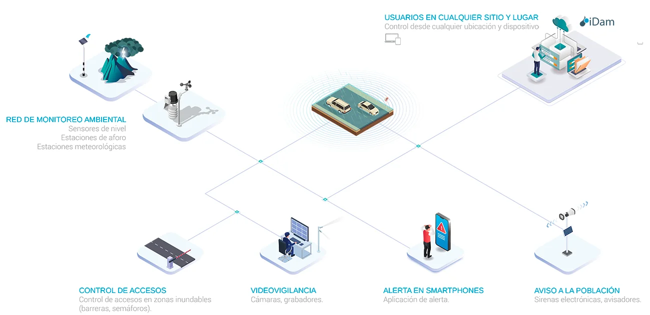
Level, flow and rainfall sensors to detect rising water and configured thresholds being exceeded at each critical point.
Long-range audible warning with local, remote or automatic activation and redundant communications.
Barriers, traffic lights and LED panels to close floodable crossings and signal the risk automatically.
Centralised supervision with iDam or COMSIR, full traceability and integration with emergency agencies.
Decision rules, thresholds, history, maintenance and document management for the system.
We design and deploy complete systems for public authorities, infrastructure operators and river basin managers. From the preliminary technical design to commissioning and maintenance, we cover the whole operating cycle with compliant, auditable solutions.
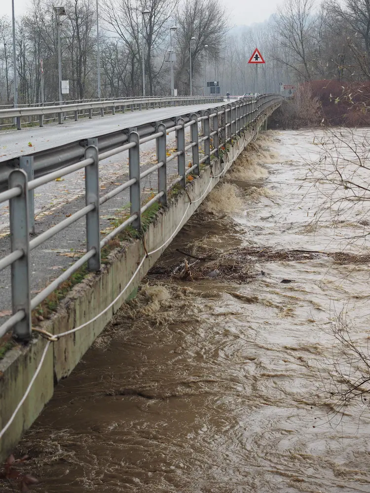
We answer the questions most often raised by councils, infrastructure operators, engineering firms and risk consultants at the design or tender stage.
Yes. The architecture is modular and interoperable: it can run on iDam/COMSIR or integrate with the client's existing platforms via standard protocols (Modbus, OPC, REST API). Integration is defined and documented during the project's engineering phase.
The system has redundant communications (IP + radio + mobile network, with optional VSAT). Each field point also has local buffering and fail-safe logic: if communication with the control centre is lost, the actuators operate autonomously according to the thresholds programmed at the design stage.
Yes. The architecture is built to grow: a pilot catchment can be expanded into a full territorial network without changing the base architecture. Every new point or subsystem joins the same control centre and the same traceability framework.
They can be powered from the mains or by a solar kit with battery certified for continuous operation. Points in isolated areas run on autonomous solar power, ensuring 24/7 availability without relying on a grid connection.
The system includes standardised automatic test protocols: weekly checks of communications and equipment status, and monthly full-response drills. All tests are logged with a checklist, records and evidence in iDam, available for audit or regulatory inspection.
The Basic Civil Protection Planning Directive for flood risk (Council of Ministers, 21 April 2026) sets out the national framework for planning, consistent risk analysis, public information and coordination between authorities. It is complemented by the Basic Civil Protection Planning Directive for adverse weather, of the same date, which establishes official AEMET warnings as the reference source. Our systems are designed to integrate with the regional and local plans derived from both directives and with AEMET warnings, without replacing the decision of the competent authority.
We work with public authorities, infrastructure operators and risk consultants to design and deploy complete solutions: from the preliminary technical design to commissioning, regulatory integration and operational maintenance.
Every situation needs a system tailored to the
risk, the environment and the regulations. Tell us about your
case: we'll design a functional,
scalable and fully compliant solution.